Topography
Elevation comes from the Copernicus GLO-30 model at 30 m posting, and it arrives with every area.
It is a surface model, not bare earth. In forest and built-up ground it describes the top of the canopy and the roofs rather than the ground beneath them, and it carries flattened water bodies, void-fill patches and residual stripe artifacts from its radar source. That matters most in exactly the vegetated terrain that Bare Earth Composite exists to work around, and it explains most of the false positives on the Extracted Edges page: a "field boundary" is visible because it is a step in canopy, not in terrain.
Two things in the platform depend on it.
Hillshade
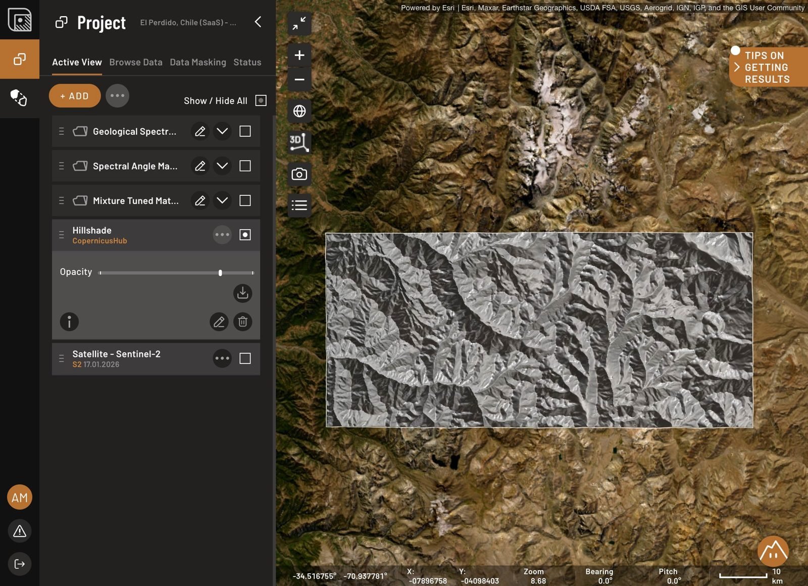
A shaded-relief rendering of the DEM, available under Browse Data. Turn it on in Phase 2 and leave it on.
The reason is terrain shadow. Slopes facing away from the sun reflect too little light for a spectral method to read reliably, and the platform cannot mask them yet. Hillshade is how you see which candidates sit on those slopes so you can flag or drop them. A strong match on a deeply shadowed slope is a match to be suspicious of.
Switch to 3D with the 2D / 3D map tool, which is the quicker way to judge whether a lineament follows real relief. A hypsometric color ramp is a layer, added from Browse Data, not a map setting.
Extracted Edges
Extracted Edges are traced from hillshade, so they inherit both the 30 m posting and the surface-model behavior above. In practice that sets the smallest reliable structure at roughly 60 to 90 m, and it means canopy and land-cover boundaries get traced alongside geology.