Gravity
The Global Gravity Model arrives with every area. It is built on GGM+: a composite of GRACE and GOCE satellite gravity, EGM2008, and topographic gravity forward-modeled from SRTM elevation, at about 200 m resolution. It measures variation in Earth's gravity field, which tracks how mass is distributed at depth.
Read it as regional architecture and nothing finer. It will tell you whether your ground sits on a gravity high or a low and where the large density domains meet. It will not resolve a target. Treat it as context when you weigh up evidence in Phase 8, never as support for a specific candidate.
There is no route to ingest your own ground gravity survey at the moment, and that is the one gravity dataset that would be target-relevant.
Available layers
| Layer | Unit | Best used for |
|---|---|---|
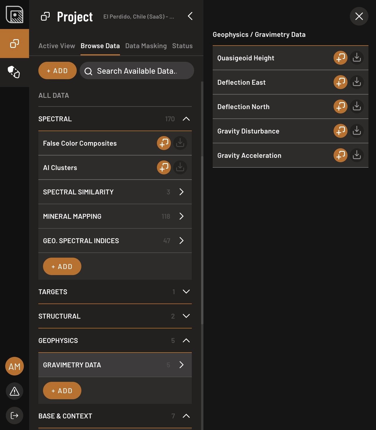
| Quasigeoid Height | m | A geometric height anomaly responding to mantle-scale structure. A continental-scale reference, with essentially no content at license scale. |
| Total Absolute Gravity | mGal | Total gravitational acceleration at the surface. A reference field, or an input to regional analysis. |
| Gravity Disturbance | mGal | Deviation from a smooth reference Earth. Mass distribution across large domains — but see the terrain warning below. |
| Deflection East | arcsec | East-west horizontal variation. Regional gradients and structural transitions. |
| Deflection North | arcsec | North-south horizontal variation. Broad density gradients and tectonic domains. |
Adding a gravity layer
- Open the Browse Data tab, open Geophysics → Gravimetry Data, and click Add layer next to the one you want.
- Set the displayed value range with the sliders.
- Set the color, or switch to gradient mode, in the layer properties.
Because the useful signal is contrast rather than absolute value, spend your time on the color scale rather than the threshold. What you are looking for is where the field changes, not what number it reaches.
The terrain warning
Gravity Disturbance retains the full gravitational effect of topography, and that is by design: below about 10 km of wavelength the GGM+ signal is not observed at all but computed from the shape of the terrain, assuming one rock density everywhere. So at the scale of an area of interest, most of what Gravity Disturbance shows is topography.
No terrain correction is available in the app — removing that component would only return you to the model's native 10 km resolution. The real, regional signal barely changes over tens of kilometers, which is one reason TerraEye loads a much larger area around yours: to give it something to vary against.
So compare every gravity gradient against the DEM before you call it a density boundary. If the gradient follows the terrain, that is what you are looking at.