Phase 1 · Set up your area
Create the area
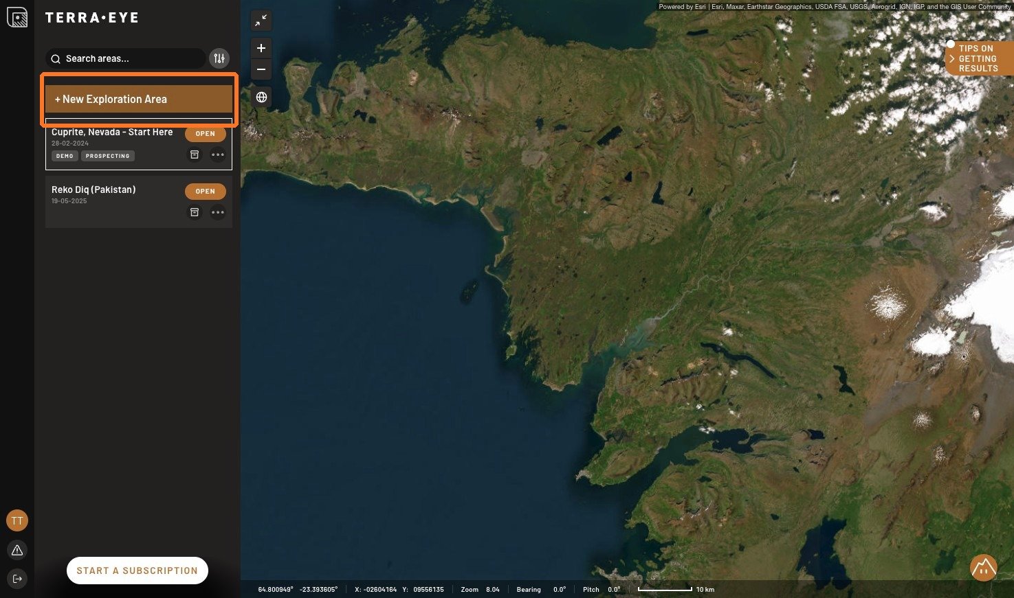
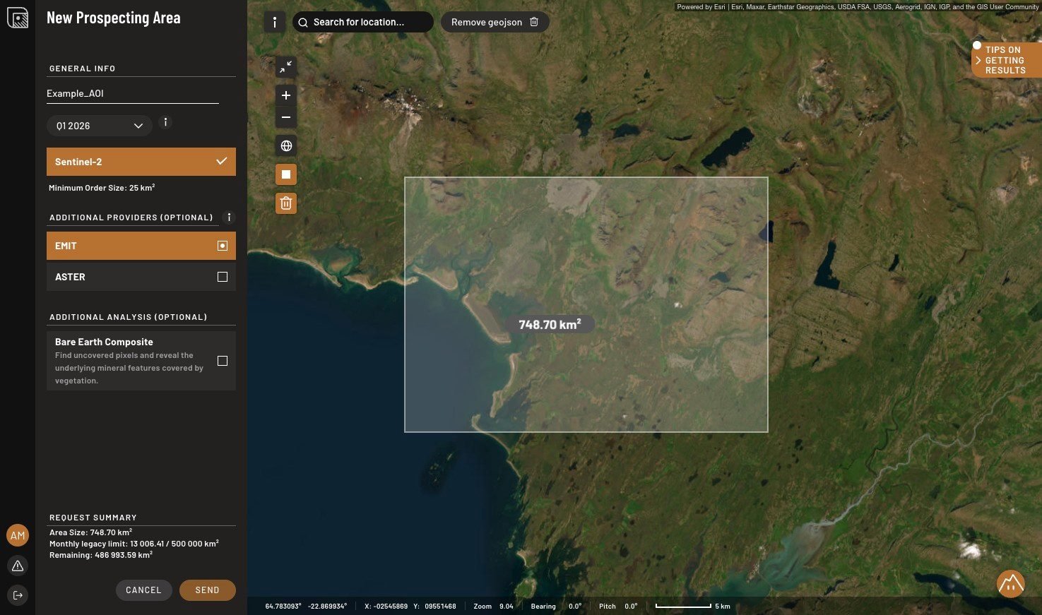
Click + New Exploration Area, give it a name, and pick the quarter with the least amount of vegetation, snow and clouds, because those elements can cover up the rock you're trying to read. Then draw a rectangle of at least 25 km² or upload a GeoJSON in WGS 84.
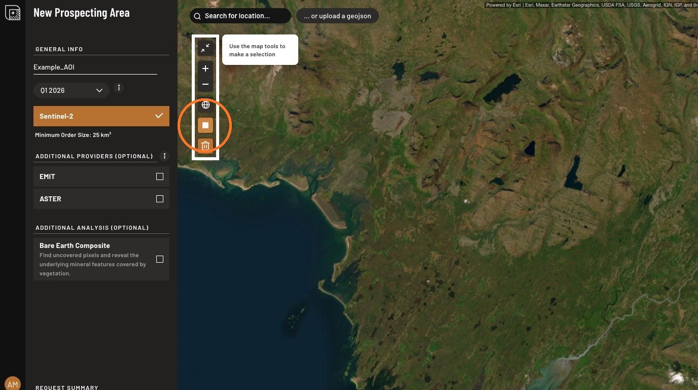
Check your map and order data
Within your area of interest what do you see? If there's vegetation, it can be best to add Bare Earth Composite as an option to complement Sentinel-2. BEC finds gaps in the top surface cover to gather as many pixels as possible. This product analyses time-series to find historically uncovered pixels, final BEC is an already masked image so it is not possible to mask it further. Keep in mind that SFF only runs on hyperspectral data (like EMIT), so we recommend always requesting EMIT. You will get a notification in the Status tab if EMIT is not available for your area of interest.
SAM and GSI analysis run on other sensors, and you can request additional hyperspectral data on-demand. Magnetics and gravity data arrive with the area, so no additional ordering is required. Remember that outside the US, Canada and Australia the magnetic grid is global at roughly 4 km per cell, which provides regional context only.
If you have geochemistry data for your area of interest, send it over to our team and we will ingest it and display it in your project, or you can upload it yourself in Geojson format with EPSG:4326.
What the sensors give you
EMIT has the richest spectra, which is why SFF runs on it. with the coarsest pixels at about 60 m, so one pixel averages 0.36 hectares of mixed surface.
Sentinel-2 is sharpest at 10 to 20 m but has only two broad SWIR bands, which resolve mineral groups rather than named minerals.
ASTER sits between the two, and its SWIR archive is pre-2008 only.
Check what you actually got
Confirm the location, the size, and the provider data that was delivered after the order. This determines which tools you can use. Note each layer's provider and date, which you'll need in Phase 6 and Phase 9.
Done when
You know what data you will work with.