Data
Two kinds of data reach your area. Satellite imagery and the global geophysical grids arrive with the order or on request. Everything else, geochemistry included, you either upload or send to us.
What you get
| Source | Arrives | Resolution | Notes |
|---|---|---|---|
| Sentinel-2 | with the area | 10 to 20 m | Two broad SWIR bands. Clay-like groups only, and no carbonate. |
| EMIT | on request | about 60 m | Hyperspectral, so SFF runs on it. Only between 52°N and 52°S. |
| ASTER | on request | 30 m in the SWIR | Reaches carbonate. SWIR archive is pre-2007 only. |
| Bare Earth Composite | on request | follows the source sensor | Time-series composite of historically uncovered pixels. Ships pre-masked. |
| Magnetics | with the area | about 3.5 to 4 km global, survey-scale in the US, Canada and Australia | Check the cell size before you read anything local into it. |
| Gravity | with the area | regional | Deep architecture only. |
| Topography | with the area | 30 m | Copernicus GLO-30. Feeds hillshade and Extracted Edges. |
| Your own data | you upload or send it | yours | GeoJSON in EPSG:4326 in-app. Other formats come to us. |
Ordering more
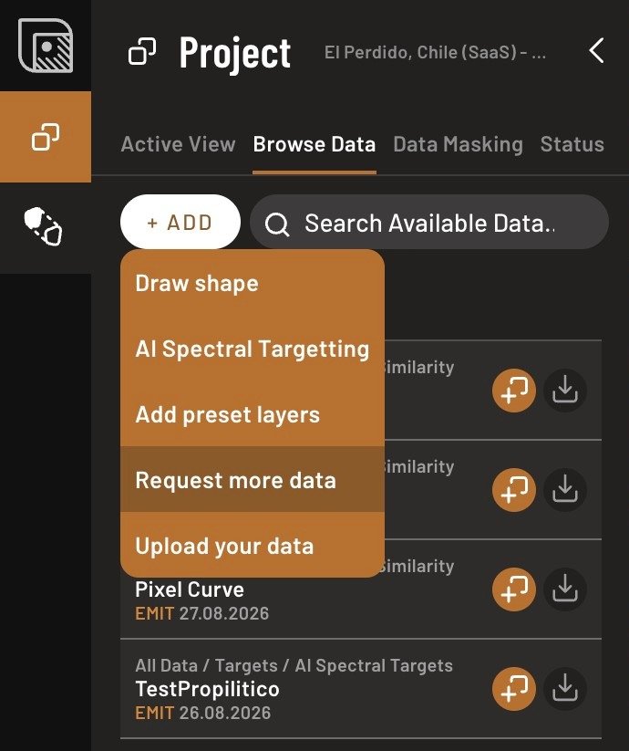
Use Request more data inside the app for additional providers and processing. If EMIT has no usable acquisition over your ground, the Status tab tells you so rather than leaving you to work it out from an empty layer. Check the latitude first, though: above 52°N or below 52°S there is no EMIT to order.